La Amistad International Park: Costa Rica's Wild Heart
La Amistad International Park (PILA) is one of Central America’s last true wilderness frontiers — a vast, roadless expanse of Talamanca mountain forest shared between Costa Rica and Panama that shelters a staggering concentration of biodiversity and living Indigenous cultures under a single UNESCO World Heritage designation.
A Park Without Borders
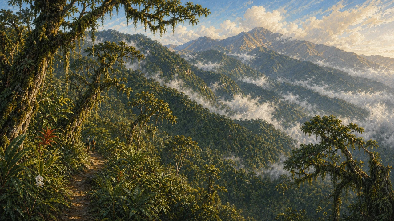 The Costa Rican portion of PILA covers approximately 194,000 hectares within the Talamanca mountain range, while the adjacent Panamanian section adds roughly 207,000 more. Together they form the largest protected area in Central America and one of the most significant conservation landscapes in the entire Western Hemisphere. The name La Amistad — Spanish for “friendship” — reflects the spirit of binational cooperation that created the park, and the joint property was inscribed as a UNESCO World Heritage Site in recognition of its exceptional universal value.
The Talamanca range is geologically young and biologically ancient at the same time. Because Costa Rica sits at the junction of the North and South American landmasses, the park functions as a biological corridor and filter where species from both continents overlap. This is why the park’s biodiversity indices are so high: you find organisms here that exist nowhere else on Earth, alongside species that arrived from either direction across millions of years.
Seven Life Zones in One Park
The park encompasses seven recognized life zones and six transition zones, driven by dramatic differences in elevation, rainfall, and topography. Ecosystems range from lowland rainforest on the Caribbean slope to high-altitude páramo — the windswept, frost-prone grassland and shrubland found only at the peaks of the tallest mountains in Central America. Between these extremes lie cloud forests, oak forests draped in epiphytes, fern fields, marshes, and mixed humid forests that cover the bulk of the park’s territory.
Some of the largest tree species found here include oak, mahogany, nargusta, and Mexican elm, with trunks that can take centuries to reach their full girth. The canopy structure varies enormously with altitude, creating dozens of micro-habitats stacked one above the other along the mountain slopes.
The topography also channels moisture. Oceanic humidity rides prevailing winds up the slopes, producing torrential and highly consistent rainfall across most of the park. This constant wetness is what makes La Amistad so ecologically productive — and so challenging for visitors.
Wildlife: Remarkable and Rarely Seen
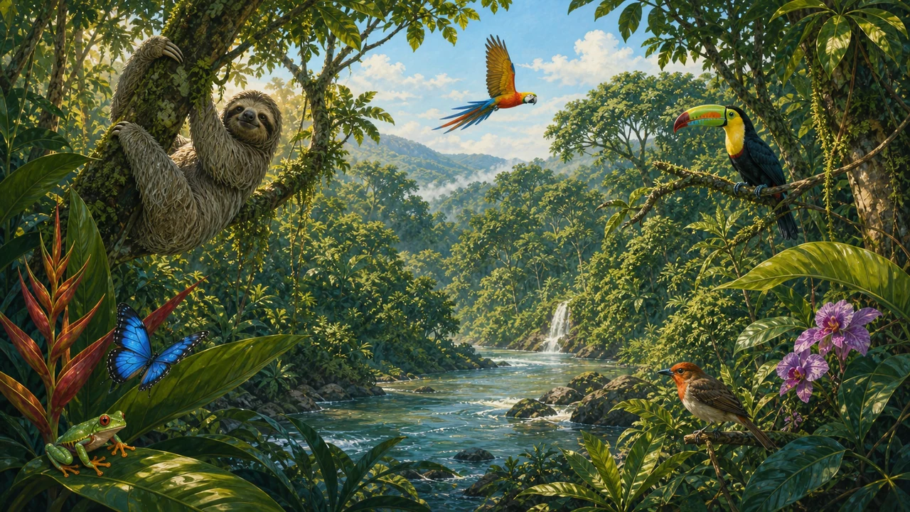 La Amistad is among the most important refuges in Central America for large mammals. The park protects viable populations of Baird’s tapir — the largest land animal native to Central America — as well as jaguar, puma, ocelot, tayra, and jaguarundi. White-faced capuchin monkeys are present, and sightings of the Central American cacomistle (a ring-tailed relative of the raccoon) are possible in the right habitat. Because the wilderness is so extensive and human disturbance so limited, animal populations here behave more naturally than in smaller, more visited parks.
Birdlife is exceptional. More than 400 species have been recorded, including flagship species rarely seen elsewhere: the resplendent quetzal in cloud-forest zones, the harpy eagle in lowland areas, the crested eagle, and the black guan. The park is a priority site for bird conservation across the entire region.
Herpetologists also find La Amistad compelling. Over 263 species of amphibians and reptiles have been documented, with new discoveries still being made in remote corners of the park. The sheer humidity and vegetation complexity support a dazzling array of frogs, salamanders, lizards, and snakes.
Watersheds and Water Security
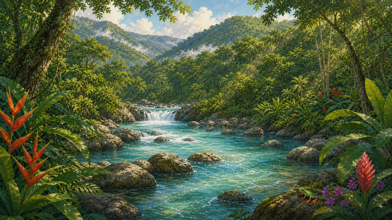 Beyond its biodiversity, La Amistad performs a critical hydrological function. The park protects the upper and middle basins of numerous rivers that supply water to communities across the region. On the Pacific watershed, rivers including the Ceibo, Cabraga, Mosca, Guineal, Singri, and Canasta all drain into the Grande de Terraba. On the Caribbean watershed, the Banano, Telire, Coen, Lari, and Uren rivers flow toward the Sixaola, which forms part of the border with Panama.
As the surrounding population grows, the role of PILA as a water tower for southern Costa Rica becomes increasingly critical. Deforestation anywhere in these upper basins would reduce water quality and reliability downstream, making the park’s protection not just an ecological imperative but a practical necessity for human communities.
Indigenous Heritage and Living Cultures
The Talamanca region has been home to Indigenous peoples for thousands of years. During the colonial period, the remoteness and ruggedness of these mountains allowed groups including the Bribri, Cabécar, Boruca, Guaymí, and Térraba to resist Spanish colonization more successfully than communities in more accessible lowland areas. That hard-won isolation preserved cultural traditions, languages, and knowledge systems that remain alive today.
The park is surrounded by a ring of Indigenous reserves: on the Caribbean watershed, the Chirripó, Tayni, Telire, and Talamanca reserves; and on the Pacific watershed, the Ujarrás, Salitre, and Cabagra reserves. These communities are not merely adjacent to the park — they are stakeholders in its management. The governance framework for PILA recognizes the role Indigenous communities play in the long-term stewardship of these forests, and some community-based tourism initiatives offer guided experiences that connect visitors with local knowledge and traditions.
Getting There and Visiting
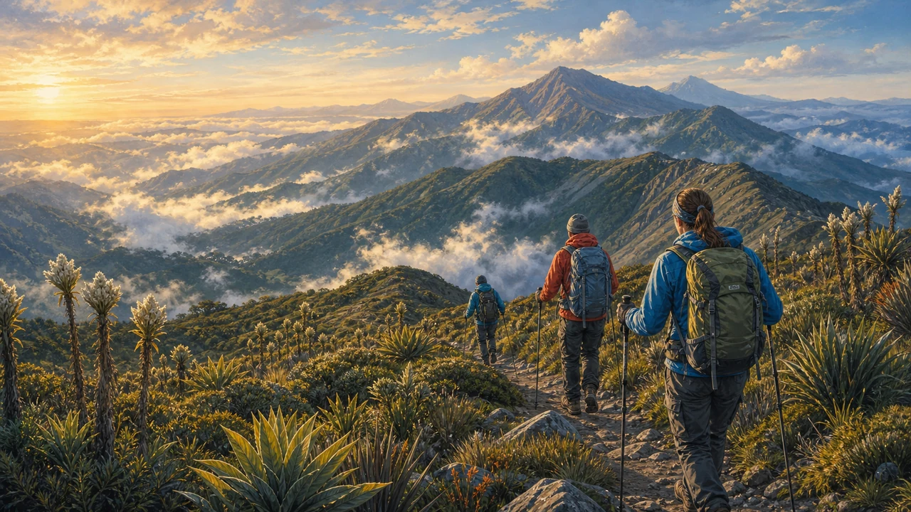 La Amistad is not a park you visit casually. The nearest major access points are in the southern zone of Costa Rica, several hours from San José. The town of San Vito near the Panamanian border serves as a practical base for Pacific-slope access, while Turrialba or Cahuita are starting points for Caribbean-slope approaches. Roads to ranger stations are often unpaved and may be impassable after heavy rain.
Entry on foot through designated ranger stations is the standard approach. Altamira and Las Mellizas ranger stations on the Pacific side are the most commonly used entry points. All visitors must register before entering. Given the terrain, the weather, and the absence of trails in much of the park, hiring a local guide who knows the area is not just recommended — it is the difference between a rewarding experience and a dangerous one.
There is no entrance infrastructure to speak of within the park itself. Camping is permitted at designated areas near ranger stations, but facilities are basic. Visitors must carry everything they need: food, water purification, warm layers for cold nights at elevation, and rain gear for the inevitable downpours.
La Amistad rewards patience and preparation. If you are drawn to authentic wilderness — forests that have never been logged, rivers in their natural state, wildlife that has never learned to fear humans — this park offers an experience available almost nowhere else in the Americas. It is one of the most compelling reasons to explore Costa Rica’s protected areas beyond the well-known circuit.
Those planning a broader southern Costa Rica trip may also want to combine La Amistad with a visit to Chirripó National Park, where the highest peak in the country rises above the treeline. For context on how La Amistad fits into Costa Rica’s remarkable conservation story — a country that protects more than 25% of its territory and harbors roughly 5% of the world’s biodiversity — see our overview of ecotourism and nature and why Costa Rica remains one of the world’s top destinations for nature travel.
Frequently asked questions
What does 'International' mean in the park's name?
La Amistad (meaning 'friendship') straddles the border between Costa Rica and Panama. The Costa Rican side covers roughly 194,000 hectares while the Panamanian side protects an additional 207,000 hectares, making it one of the largest protected areas in Central America. Together they form a single UNESCO World Heritage Site.
Can I visit La Amistad International Park independently?
Access is genuinely rugged and remote. Most visitors enter through ranger stations such as Altamira or Las Mellizas on the Pacific slope, or Pittier on the Caribbean side. Roads are rough and conditions change with weather. Hiring a local guide is strongly recommended, and you should register with park rangers before any hike.
What wildlife might I see in La Amistad?
The park shelters an extraordinary range of species including Baird's tapir, jaguar, puma, ocelot, and white-faced monkey. Birdwatchers target the resplendent quetzal, harpy eagle, crested eagle, and black guan among more than 400 recorded bird species. Over 263 species of amphibians and reptiles have also been documented.
Is camping allowed in La Amistad International Park?
Camping is permitted at designated sites near ranger stations. Facilities are minimal, so visitors should bring all supplies including food, water purification, and shelter appropriate for cold, wet mountain conditions. Nights at higher elevations can be very cold even in the dry season.
What is the best time of year to visit?
La Amistad receives rainfall year-round, and there is no true dry season in most of the park. The Caribbean slope is perpetually wet. The Pacific slope is somewhat drier between December and April, which is the most practical window for hiking. Come prepared for mud, mist, and sudden downpours regardless of season.