Barbilla National Park: Wild Caribbean Rainforest
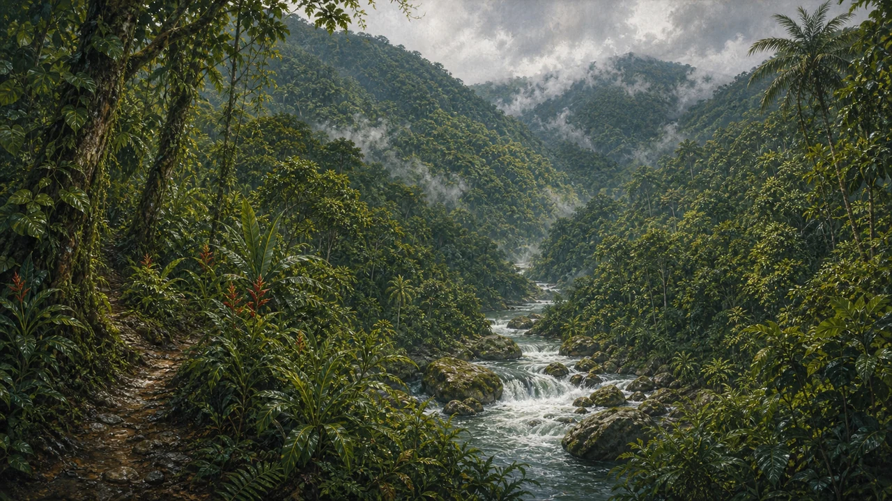
Barbilla National Park is one of Costa Rica’s least-visited and most pristine protected areas — a vast sweep of Caribbean-slope rainforest where jaguars still roam, rivers run clear, and the silence is broken only by the calls of birds and howler monkeys. Spanning 11,994 hectares on the eastern flank of the Talamanca mountain range, the park protects a critical piece of wilderness between the highland forests and the Caribbean lowlands of Limón Province.
A Protected Area With Deep Roots
The area was first designated a biological preserve in 1982, when scientists recognized its exceptional ecological value. The site gained national park status in 1998, formalizing protections for one of the most ecologically intact forest blocks on Costa Rica’s Caribbean coast.
The park’s terrain rises dramatically — from roughly 110 meters above sea level in the lowland river valleys to 1,617 meters at its highest ridges. This altitudinal sweep creates a stacking of distinct forest types and microclimates, from hot and humid lowland wet forest to cooler montane forest near the upper boundary. Annual rainfall is intense, ranging from 3,500 to over 4,600 millimeters, feeding the rivers and streams that make Barbilla an important watershed for downstream communities.
Rainforest Ecosystems and Biodiversity
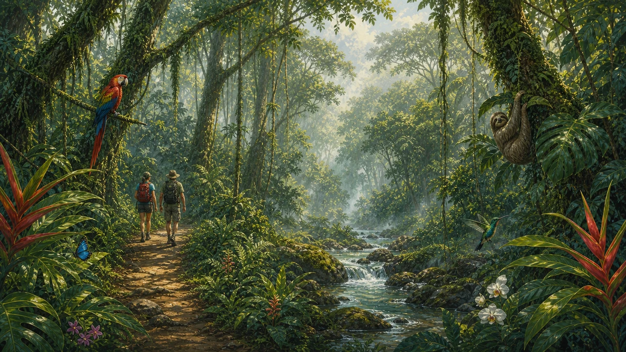
Barbilla contains primary tropical wet forest and tropical very wet forest — among the most biodiverse ecosystems on Earth. Because the park sees so few visitors and remains largely undisturbed, it functions as a refuge for species that have disappeared from more accessible parts of the country.
Mammals include Baird’s tapirs, jaguars, pumas, and ocelots — all of which require large, undisturbed territories to sustain viable populations. White-faced capuchins, spider monkeys, and howler monkeys move through the canopy. The forest understory shelters dozens of amphibian and reptile species sensitive to habitat disturbance.
Birdwatching in Barbilla is extraordinary, precisely because the park receives so little pressure. The altitudinal gradient means species from the Caribbean lowlands and mid-elevation forests occur within a single hiking circuit. Serious birders willing to make the logistics work are often rewarded.
Costa Rica protects more than 25% of its national territory and is home to roughly 5% of the planet’s biodiversity. Barbilla represents one of the cornerstone blocks of that commitment on the Caribbean side.
Rivers and Water Resources
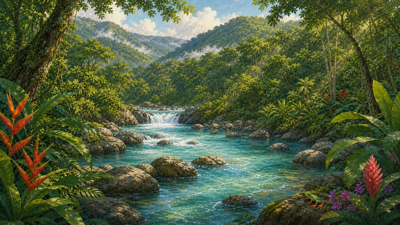
The park sits within the Pacuare and Barbilla river watersheds, making it a vital water source for communities throughout the region. Rivers inside and around the park flow cold and clear — fed by consistent tropical rains and filtered through layers of undisturbed forest.
For adventurous travelers, the rivers near the park are part of a broader Caribbean-slope river network. The Pacuare River, famous for whitewater rafting, runs not far from the park boundary. While rafting the Pacuare itself is a separate experience from visiting the national park, the two share the same wild Caribbean watershed and a similar sense of untouched jungle immersion.
The Cabécar Connection
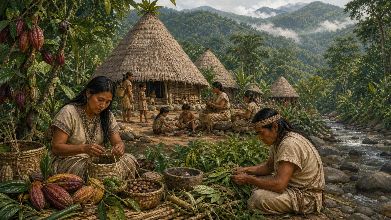
Barbilla National Park borders the Chirripó Indigenous Territory, home to the Cabécar people. The Cabécar are one of Costa Rica’s most culturally intact indigenous groups, maintaining traditional practices, spiritual beliefs, and subsistence lifestyles in the Talamanca highlands. Their relationship with this landscape goes back thousands of years.
The indigenous territory and the national park are separate jurisdictions. Visitors to Barbilla should be aware of those boundaries and treat the land and any community members encountered with respect. The park administration in Las Brisas de Pacuarito can provide current guidance on access protocols.
Learning about Costa Rica’s indigenous heritage and cultures deepens any visit to this region — the Cabécar’s presence is part of what makes this corner of the country so historically and culturally significant.
Getting There and Visitor Practicalities
Barbilla is located approximately 20 km from Siquirres, a town on the Caribbean lowlands highway (Route 32) between San José and Puerto Limón. The national park administration office is in Las Brisas de Pacuarito, a small community that serves as the practical base for any visit.
Access to the park involves rough roads and river crossings that require a 4WD vehicle. Once inside, there are no maintained visitor facilities — no ranger station open to the public inside the forest, no maintained trail system, and no lodging within the park boundaries. This is genuine wilderness, and it demands corresponding preparation.
What to expect:
- Guided visits only: Hire a local guide from the Las Brisas de Pacuarito community. Guides know the terrain, the wildlife, and the conditions — and their income supports the community’s investment in conservation.
- Physical fitness required: Trails are unmarked and may be overgrown. Expect steep terrain, river crossings, and heavy mud.
- Gear: Waterproof boots, rain gear, insect repellent, and water purification are essential. Pack light but prepare for wet conditions regardless of season.
- Multi-day possibilities: Overnight camping may be possible with proper permits and coordination through the park administration. Confirm current requirements before planning.
The park is best suited to experienced hikers, naturalists, researchers, and adventurous travelers who understand what remote wilderness access entails. It is not a destination for casual day-trippers looking for developed facilities.
Why Barbilla Matters
Most visitors to Costa Rica’s national parks experience places like Manuel Antonio or Tortuguero — beautiful and worthwhile, but heavily visited. Barbilla represents the other end of the spectrum: a place where the forest is intact, wildlife is abundant and unhabituated to humans, and the experience of true wilderness is still possible.
For ecotourism and nature travelers who want to go beyond the established circuit, Barbilla offers something genuinely rare — a Caribbean rainforest largely as it has always been, with the sounds, smells, and scale of a living ecosystem that hasn’t been simplified for tourism.
Before planning your trip to this region, review current travel tips for Costa Rica and confirm access and permit requirements with SINAC (Costa Rica’s national conservation system) or the Las Brisas de Pacuarito community directly.
Frequently asked questions
Where is Barbilla National Park located?
Barbilla is on the Caribbean slope of Costa Rica, roughly 20 km from the city of Siquirres in Limón Province, with its upper reaches extending into Cartago Province. The park administration office is in the community of Las Brisas de Pacuarito.
Is Barbilla National Park open to independent visitors?
The park is accessible but strongly recommended only for experienced hikers. There are no visitor facilities inside the park, and trails can be overgrown. Hiring a local guide from the Las Brisas de Pacuarito community is highly advised and significantly improves both safety and the quality of the experience.
What wildlife can I see at Barbilla National Park?
The park harbors jaguars, pumas, ocelots, Baird's tapirs, and several monkey species. Birdwatching is exceptional across the wide altitudinal range. Amphibians and reptiles are abundant in the wet-forest understory.
What is the best time to visit Barbilla National Park?
The Caribbean slope receives heavy rainfall year-round — annual precipitation ranges from 3,500 to 4,600 mm. The drier months (February through April) tend to have somewhat less rain, but be prepared for wet conditions regardless of when you visit.
Is Barbilla connected to any indigenous territory?
Yes. The park sits adjacent to the Chirripó Indigenous Territory, home to the Cabécar people, one of Costa Rica's most traditional indigenous groups. Their territory and culture are distinct and separate from the national park; visitors should respect those boundaries.