Manuel Antonio National Park: Ecology, Trails & Tips
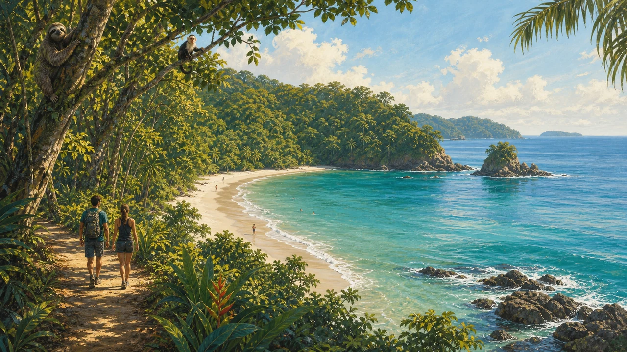 Manuel Antonio National Park is a mosaic of distinct ecosystems — primary rainforest, secondary growth, mangrove estuary, coral reef, and open Pacific — packed into one of the smallest, most ecologically rich protected areas in the Americas. This companion guide goes deeper than the overview, unpacking the park’s geology, its four individual beaches, each trail section, practical wildlife-viewing strategies, and the conservation rules that keep this place intact. For the full planning overview — entry reservations, getting there, and what to pack — see the main Manuel Antonio National Park guide.
How the Park Came to Be: The Tombolo Story
Manuel Antonio occupies a peninsula that was once an island. The geological process that created it is called tombolo formation: wave-driven sediment accumulated along converging currents and deposited a sandbar connecting the island to the mainland. Plant life colonised the sand, bound it with roots, and gradually built the dense tropical canopy that stands today.
The result is Punta Catedral — a forested headland jutting into the Pacific, fringed by rocky cliffs and sheltering the beaches in its curve. The same dynamic continues: storms reshape the beaches, and the sandbar between Playa Espadilla Sur and Playa Manuel Antonio shifts with the seasons. What looks permanent is geologically still in motion.
The park was established in 1972 to protect this landform and the lowland Pacific rainforest surrounding it — one of the last substantial patches remaining on Costa Rica’s Central Pacific coast.
The Forest Layers
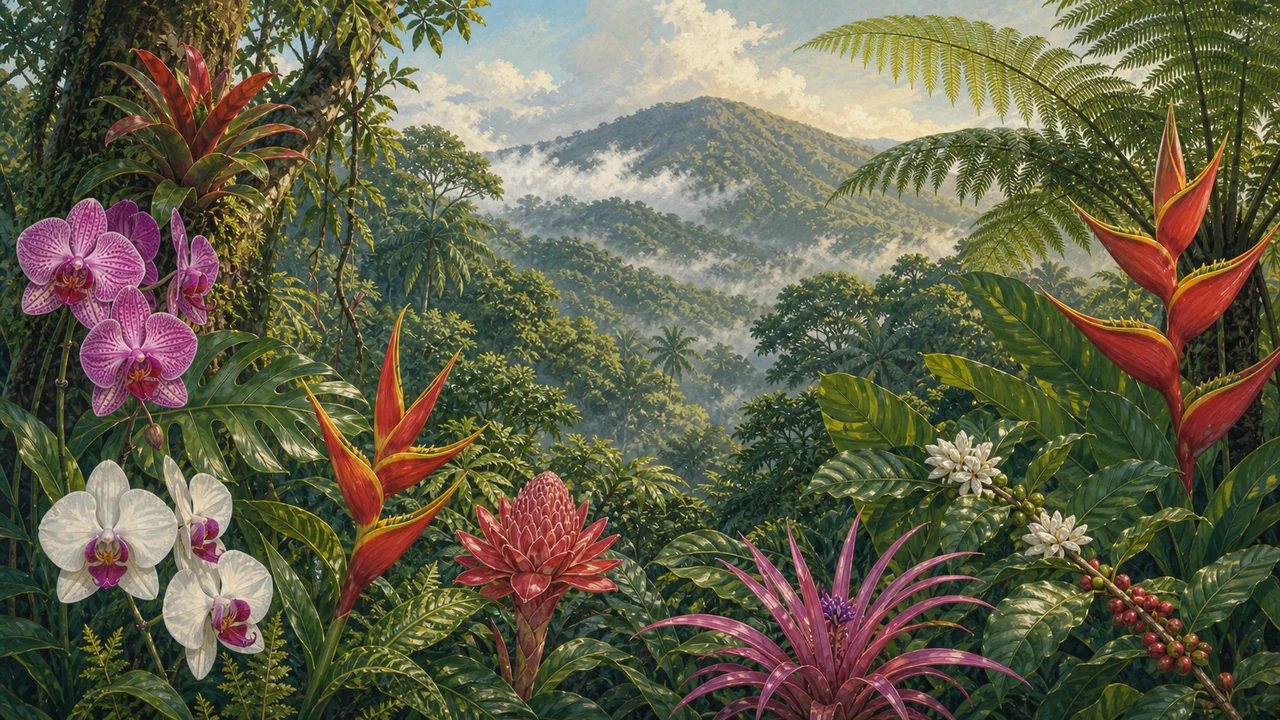 Walking Manuel Antonio’s trails, you move through several distinct vertical layers, each hosting its own community of plants and animals.
The canopy (25–30 metres) is dominated by cecropia, fig, and almendro trees. Cecropia’s broad, pale-backed leaves are a reliable indicator of sloth habitat; fig trees produce year-round fruit that draws capuchins, toucans, and dozens of bird species; the towering almendro (mountain almond) is the preferred nesting tree of scarlet macaws.
The understorey hosts palms, heliconias, and dense lianas. Strangler figs deserve special attention: they begin life as epiphytes high in a host tree, send roots to the soil, then gradually encase the host in a woody lattice. Far from being purely destructive, they are ecological keystones whose fruits sustain much of the park’s wildlife.
On the forest floor, watch for poison dart frogs, leaf-cutter ant highways, and the root networks that stabilise the thin tropical soil. The park also holds a narrow band of beach vegetation — palms, sea grape, sea almond — and a 44-hectare mangrove system at its northern margin.
The Four Beaches
 Each of the park’s beaches has a different character, and visiting more than one is well worth the short hike between them.
Playa Espadilla Sur runs along the eastern base of Punta Catedral and connects to Playa Manuel Antonio at low tide. The surf faces more open water than the next beach, so it tends to suit confident swimmers. Wildlife regularly appears at the forest edge in the early morning before the crowds arrive.
Playa Manuel Antonio is the park’s centrepiece: calm, clear, sheltered — ideal for swimming and snorkelling. Rocky coral-encrusted headlands anchor each end; pre-Columbian stone fish traps are visible on the rocks at the western end, among the few such structures preserved in situ in Costa Rica. Olive ridley and Pacific green turtles nest on this beach seasonally — maintain distance from nesting females and avoid any light or flash near the water at night.
Playa Puerto Escondido (“hidden beach”) requires the longest walk but rewards with near-solitude, a cove backed by steep forested hills, and excellent snorkelling off the surrounding rocks. Visit at low or mid-tide — the beach shrinks significantly at high water.
Playa Biesanz sits just outside the formal park boundary near the entrance road. A short trail leads to a sheltered cove with calm water and some coral, usually far quieter than the park beaches. A good fallback on busy days.
Trail by Trail
The park’s footpath network is compact — you can walk every major trail in a single day — but each section rewards a different pace and interest.
Punta Catedral Loop: The flagship walk. The trail climbs from Playa Espadilla Sur through forest to the tip of the former island, reaching viewpoints above dramatic cliffs with the Pacific and the park’s twelve offshore islands below. The descent drops to Playa Manuel Antonio. Roughly two kilometres total; allow ninety minutes to two hours with wildlife stops.
Coastal Trail: A mostly flat shoreline path between the beaches, good for shorebirds, a close look at the pre-Columbian fish traps, and easy beach lingering. Works well as a return leg from the loop.
Lookout Trail: Branches inland to an elevated observation platform at canopy level. Most rewarding at dawn, when macaws, toucans, and parrots are loudest and most active.
Mangrove Trail: Follows the park’s northern edge through a 44-hectare mangrove swamp of red, white, and buttonwood species. The mangrove root system is the park’s ecological nursery — juvenile fish and crustaceans develop here before moving to the open reef. Tricoloured herons, little blue herons, and boat-billed herons hunt the shallows; crocodiles are occasionally seen in the adjacent estuary.
Wildlife Viewing Tips
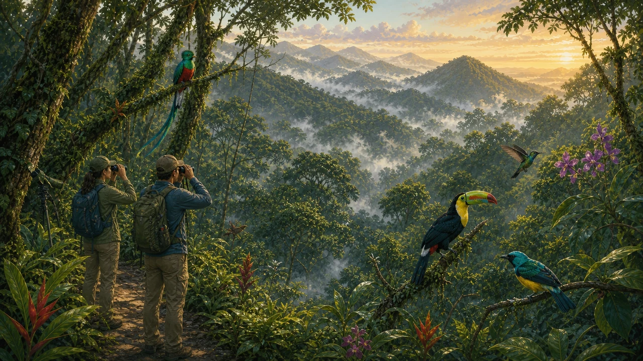 Manuel Antonio’s wildlife is genuinely wild — the animals are not fed, conditioned to perform, or contained. Getting the most from a visit is about timing, patience, and technique.
Arrive at opening time. The first two hours are the most productive — mammals and birds are active in the cooler morning air. By mid-morning, wildlife retreats into the deep canopy and the beach crowds build.
Move slowly and stop often. Animals hiding in plain sight — a motionless sloth in a cecropia, a poison dart frog on a mossy rock — are invisible to fast walkers. Scan from forest floor to canopy.
Use a licensed naturalist guide. Guides at the park entrance know current animal locations, identify calls instantly, and carry telescopes. The fee pays for itself in the first fifteen minutes. Solo visitors routinely walk past sleeping sloths that guides spot in seconds.
Respect space and secure food. Keep two metres from all wildlife. Capuchin monkeys are skilled thieves — keep bags zipped and food sealed while in forested sections.
Look for movement, not shape. In dense forest the first clue is disturbance: a bouncing branch, a tail hanging from a vine, a leaf trembling as a sloth repositions.
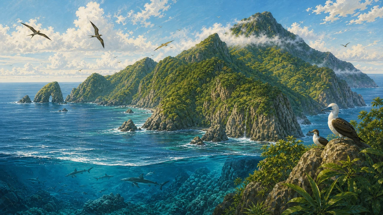
The park records more than 180 bird species. The offshore islands seen from Punta Catedral host nesting frigatebirds and brown boobies — the kind of sighting that defines Costa Rica ecotourism and nature worldwide.
Conservation Rules and Why They Matter
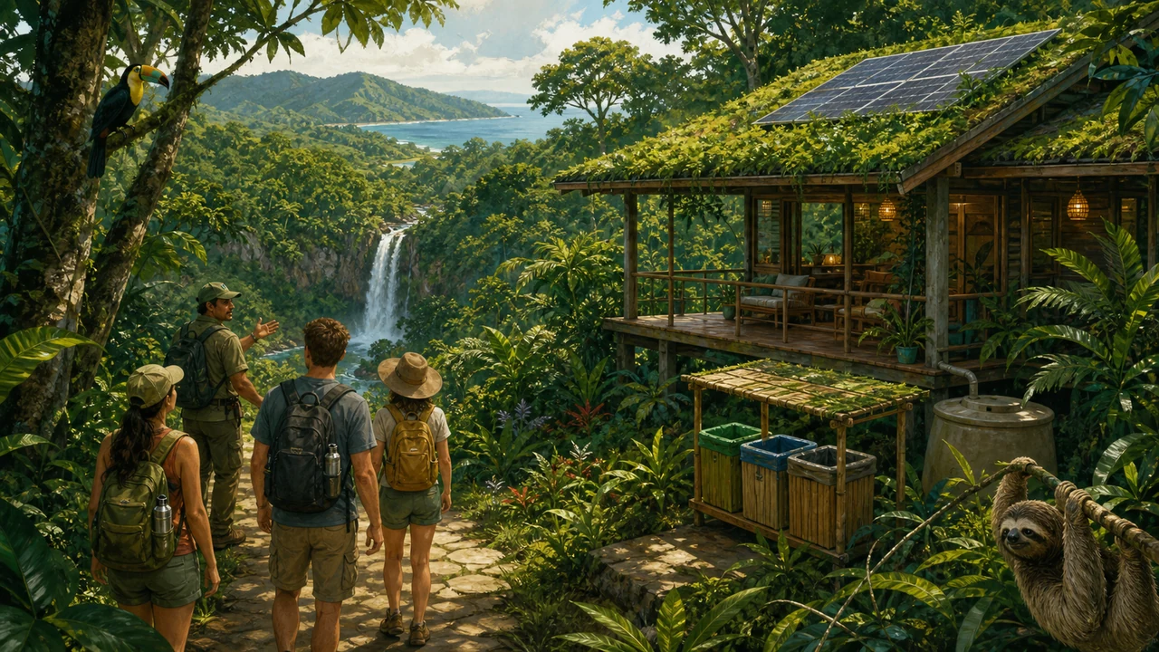 Manuel Antonio receives more visitors per hectare than almost any other national park in Costa Rica. The rules exist not as bureaucratic formality but as the mechanisms that keep this ecosystem functioning under that pressure.
Do not feed wildlife. The most frequently violated rule and the most damaging. Animals habituated to human food lose foraging skills, become aggressive, and are displaced from their natural range. SINAC rangers issue fines.
Stay on marked trails. Thin tropical soil compacts quickly, suppressing root systems and causing erosion. Off-trail movement disturbs ground-nesting birds and reptiles.
Leave nothing behind. Pack out all waste. Microplastics accumulate in the reef ecosystem at concentrations invisible to visitors but well documented in scientific research.
Use reef-safe sunscreen. Oxybenzone and octinoxate are toxic to coral polyps even at low concentrations. Mineral-based alternatives (zinc oxide, titanium dioxide) are the responsible choice near the reef.
No pets, drones, or collecting. Dogs are prohibited; drones require permits and are generally not allowed in national parks; removing any natural material is illegal under Costa Rican law.
Respect visitor caps. Book through the SINAC reservation portal — it is both the responsible choice and your guarantee of entry.
Combining Manuel Antonio with the Wider Region
The park sits within Costa Rica’s broader protected areas network, and several complementary destinations are within easy reach. Carara National Park, ninety minutes north along the Costanera highway, marks the ecological transition between dry and moist Pacific forest and offers some of the country’s most reliable scarlet macaw viewing. The Damas Island mangrove estuary, accessible by boat from Quepos, extends the mangrove experience into a large tidal system with crocodiles, roseate spoonbills, and night herons. The Río Savegre to the south is one of Costa Rica’s cleanest rivers and a productive spot for birding and white-water activities and sports.
Manuel Antonio rewards visitors who take time to understand what they are looking at. The tombolo peninsula, the layered forest, the reef, the mangrove nursery, the squirrel monkey found nowhere else on Earth but this narrow coastal strip — it is all connected, and those connections are what make it beautiful.
Frequently asked questions
What is the tombolo formation at Manuel Antonio?
A tombolo is a sandbar that connects a former island to the mainland. At Manuel Antonio, wave action and sediment deposits gradually built a land bridge between what is now Punta Catedral and the coast. Over time, tropical vegetation colonised the sand and locked it in place, creating the forested peninsula visitors walk today.
How many beaches are inside Manuel Antonio National Park?
There are four beaches within the park: Playa Espadilla Sur, Playa Manuel Antonio, Playa Escondido (Puerto Escondido), and the smaller Playa Biesanz, accessible just outside the main entrance. Each has a distinct character — from calm family swimming to secluded coves.
What are the main rules for visiting Manuel Antonio?
Feeding wildlife is strictly prohibited and carries a fine. Visitors must stay on marked trails. No littering, no picking plants, no removing shells, rocks, or any natural material. Reef-safe sunscreen is strongly encouraged to protect the coral. Dogs and other pets are not permitted inside the park.
What are the best wildlife viewing strategies for the park?
Arrive at opening time — most mammals are active in the cooler early hours. Walk slowly and quietly; sudden movement disperses animals. Hire a licensed naturalist guide at the entrance, as they spot wildlife the untrained eye misses. Look up into cecropia trees for sloths and squirrel monkeys, and scan branches overhanging the trail.
Is snorkelling good at Manuel Antonio?
Yes, particularly off the rocky headlands flanking Playa Manuel Antonio. Visibility varies by season and swell; the dry season (December–April) typically offers the clearest water. The reef hosts parrotfish, puffer fish, sergeant majors, and occasionally sea turtles. Bring your own mask and fins or rent them in Quepos.