Chirripó National Park: Costa Rica's Highest Peak
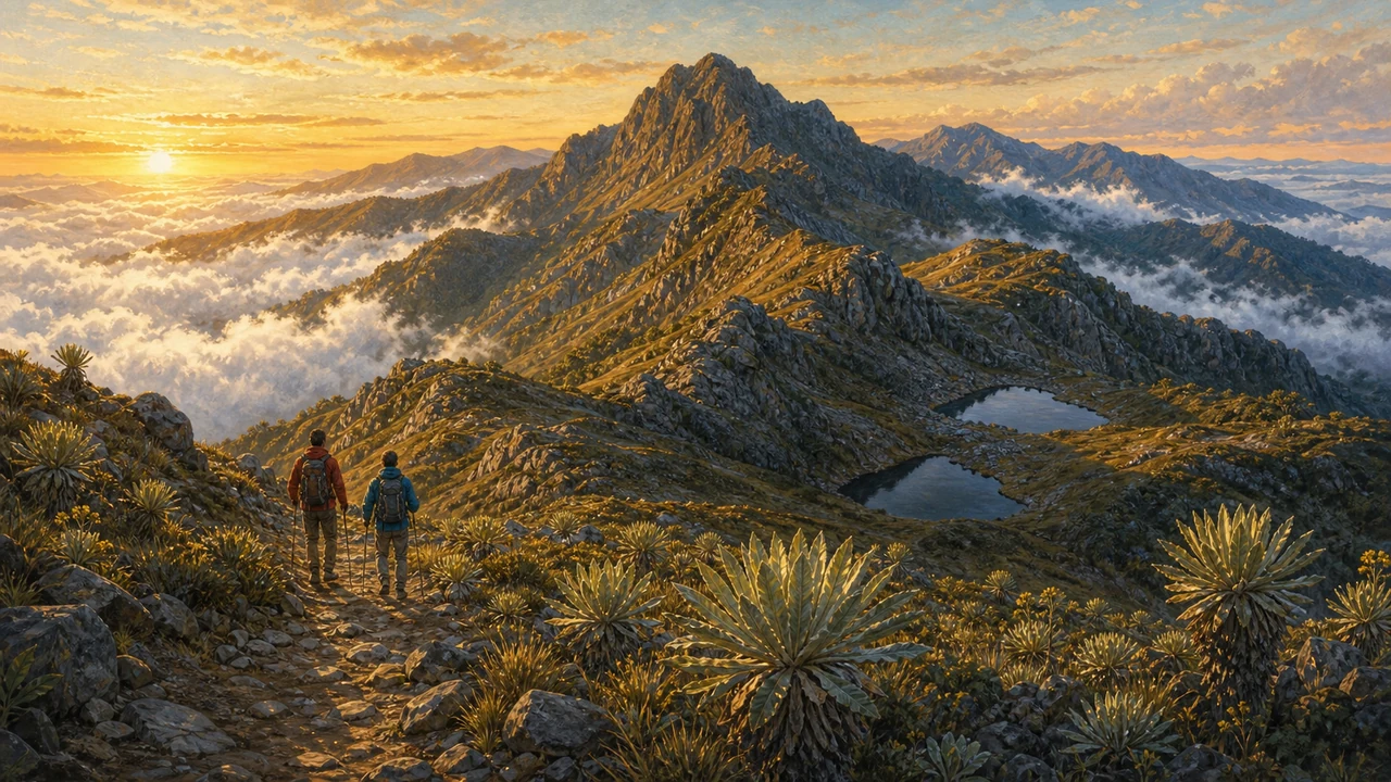
Chirripó National Park is home to Cerro Chirripó, Costa Rica’s highest point at approximately 3,820 meters above sea level — and the lofty goal of every serious hiker who visits the country. Set deep in the Cordillera de Talamanca, the longest mountain range in Central America, the park protects an extraordinary sweep of ecosystems from mid-elevation cloud forest to high-altitude páramo, all within a roughly 50,000-hectare wilderness. On a clear morning at the summit you can stand on a continental divide and look west to the Pacific and east to the Caribbean — two oceans visible from a single spot.
The Landscape: From Cloud Forest to Páramo
The park encompasses a dramatic vertical gradient. Trails begin around 1,400 m on the Pacific slope near the village of San Gerardo de Rivas and climb through dense montane rain forest thick with oak, bromeliads, and tree ferns. Higher up, the forest gives way to open sub-alpine shrubland — the páramo — a life zone more typical of the Andes than Central America. Chirripó holds the northernmost example of true páramo in the Americas, a windswept landscape of tufted grasses, low shrubs, and wildflowers adapted to extreme cold.
The upper zone is also defined by its glacial heritage. During the last ice age, glaciers carved the terrain into U-shaped valleys, left behind moraines, and created a cluster of small glacial lakes — locally called lagunas — that dot the plateau around the Crestones Base Lodge. Unusual rock formations, including the striking Crestones (stone pillars that give the lodge its name), add a dramatic visual signature found nowhere else in Costa Rica.
Wildlife and Biodiversity
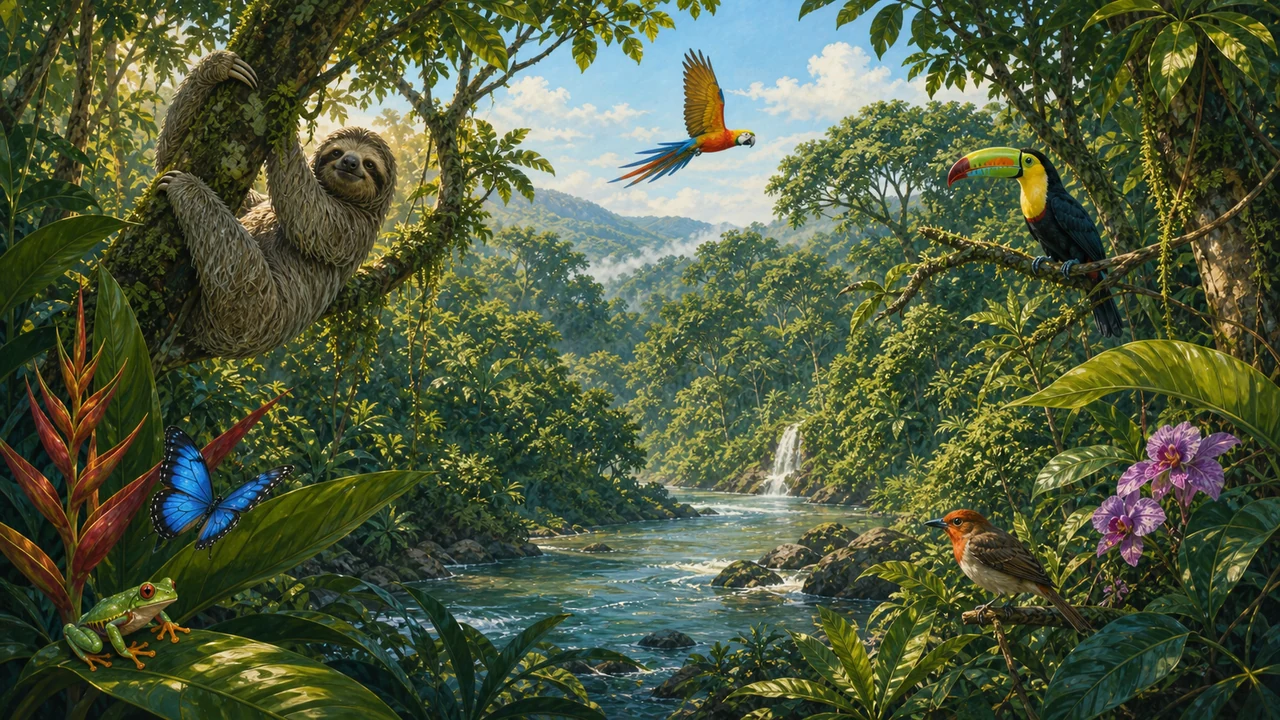
Together with the adjacent La Amistad International Park, Chirripó forms part of a UNESCO World Heritage Site and Biosphere Reserve recognized for its exceptional biodiversity. The combined parks shelter an estimated 60% of all vertebrate and invertebrate species found in Costa Rica — a remarkable figure in a country already famous for holding roughly 5% of the world’s total biodiversity.
Birdwatchers prize Chirripó for species rarely seen at lower elevations, including the resplendent quetzal (common in the oak forests below the summit zone), black guans, and several high-altitude hummingbirds. Tapirs, pumas, jaguars, and white-nosed coatis inhabit the lower forest; at higher elevations you may spot the volcano hummingbird — the country’s smallest bird — darting among páramo flowers. The glacial lakes attract wading birds and waterfowl, and the crisp air carries the calls of species found nowhere else on Earth.
The Summit Hike: What to Expect
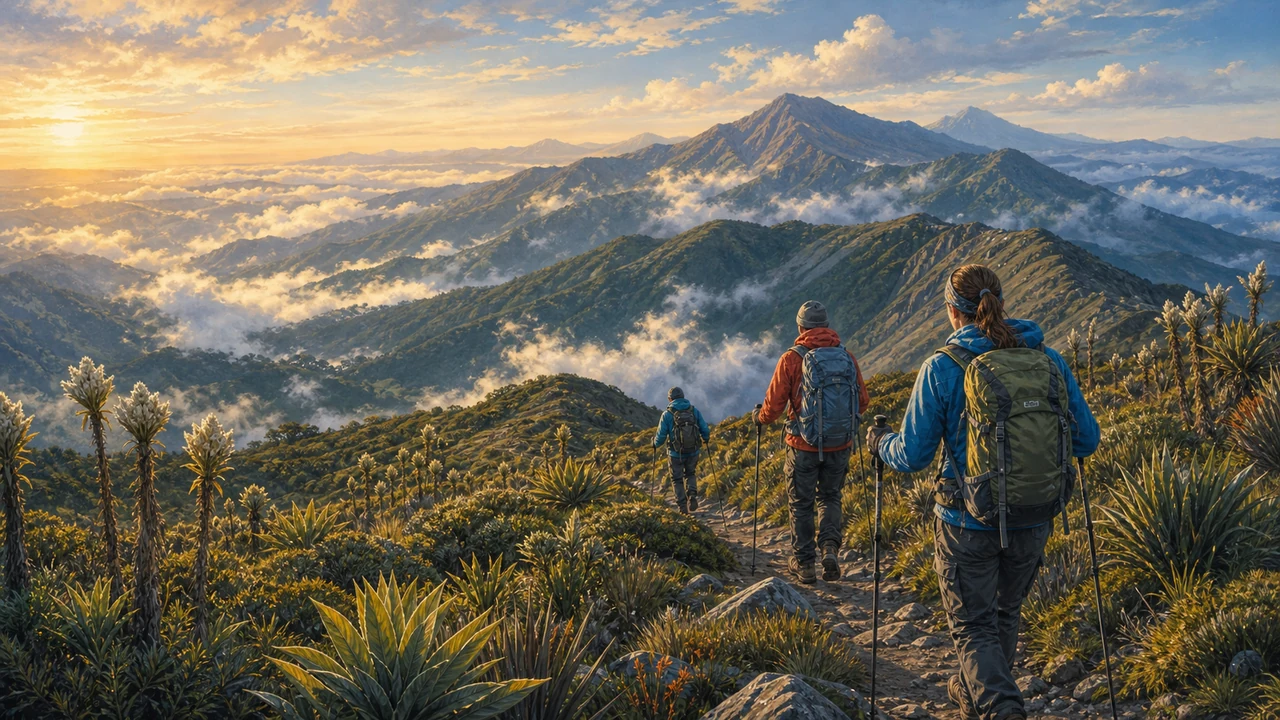
The classic Chirripó ascent begins in San Gerardo de Rivas, a small mountain village about 151 km from San José (roughly 4–5 hours by road). From the park entrance, the main trail to the Crestones Base Lodge is approximately 19 km with nearly 2,400 m of vertical gain — a demanding but well-maintained route through forest, then open ridge, then high páramo.
Most hikers break the ascent into two days:
- Day 1 – Trailhead to Crestones Base Lodge: An early start is essential. The forest section is shaded and pleasant, but the upper páramo stretch is fully exposed. Expect 8–10 hours of hiking depending on your pace and fitness.
- Day 2 – Summit push and descent (or rest day): From the lodge, the summit of Cerro Chirripó is roughly 5 km and 400 m of additional gain. A 3–4 am departure lets you reach the top at sunrise before clouds roll in, then descend to the lodge for breakfast before the long trail back down.
The descent is hard on knees after the uphill effort — trekking poles, good boots, and a controlled pace matter. Some hikers spend an extra night at the lodge to explore the other peaks and lakes in the plateau before heading back.
What to bring: Warm layers are non-negotiable. Temperatures at altitude can be warm (up to 24 °C) in afternoon sun and plunge below freezing at night — the lowest temperature ever recorded in Costa Rica (around −9 °C) was measured here. A quality sleeping bag rated for sub-zero temperatures, a warm hat, gloves, and base layers are essential even if you plan to stay in the lodge. Bring enough food and water for the trail; the lodge provides meals but hikers should carry snacks and hydration.
Reservations, Permits, and the Crestones Base Lodge
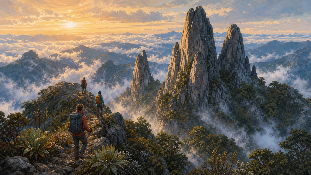
Chirripó is one of Costa Rica’s most regulated national parks, and for good reason: the fragile páramo ecosystem cannot absorb unlimited foot traffic. Visitor numbers are strictly capped, and both your park entry permit and your lodge reservation must be confirmed before you show up at the trailhead — rangers check at the entrance.
- Book early. Permits and bunks at the Crestones Base Lodge sell out weeks or even months ahead during the dry season (December–April). The rainy season offers more availability but wetter trails.
- Reservation system. Bookings are handled through the SINAC (Costa Rica’s national conservation system) official online portal. The lodge is managed by the community organization ASOPROCHI, and a lodge reservation is required to obtain your park entry permit.
- Lodge basics. The Crestones Base Lodge provides dormitory-style sleeping bunks, hot meals, and gear storage at around 3,400 m — a genuine comfort at altitude. It does not have individual rooms or private baths; pack as if for a mountain hut.
Altitude sickness is a genuine concern. Chirripó’s summit sits higher than most travelers’ everyday experience, and going straight from a beach vacation to a summit push significantly increases the risk of headache, nausea, and fatigue. Allow at least one acclimatization night — San Gerardo de Rivas is a good place to rest at roughly 1,350 m before your permit day.
Getting There and Practical Tips
San Gerardo de Rivas is the gateway village and the starting point for all Chirripó hikes. From San José, take the Interamerican Highway south toward Cartago and San Isidro de El General, then follow signs toward San Gerardo. The road to the village is steep and narrow; a 4WD vehicle is advisable. Public buses run from San Isidro de El General (the nearest large town) to San Gerardo.
Several small guesthouses and hostels in San Gerardo cater to hikers; staying there the night before an early-morning start is standard practice. The village has basic restaurants, gear rental (trekking poles are widely available), and porters/guides if you prefer extra support on the trail.
Chirripó sits within the broader Costa Rica national parks network, and combining it with La Amistad International Park or a visit to the cloud forests around San Gerardo makes for a rewarding multi-day southern highlands itinerary. For those new to Costa Rica’s outdoors, our ecotourism and nature guide and activities and sports overview provide helpful context. Plan logistics carefully — see our Costa Rica travel tips for road conditions, packing, and highland travel advice.
Frequently asked questions
How hard is the hike to the summit of Cerro Chirripó?
The standard trail from San Gerardo de Rivas to the Crestones Base Lodge is roughly 19 km one way with about 2,400 m of elevation gain. Most fit hikers allow two days up — one to reach the lodge, a predawn start the next morning to the summit. The descent is strenuous on the knees; trekking poles are strongly recommended.
Do I need a permit or reservation to hike Chirripó?
Yes. Visitor numbers are strictly limited, and permits sell out weeks or months in advance, especially during the dry season (December–April). Book your entry permit and lodge bunk through SINAC's official online reservation system well before your planned trip date.
Where do hikers sleep on the multi-day trek?
The Crestones Base Lodge, managed by a local community association, sits at roughly 3,400 m near several glacial lakes. It offers dormitory-style bunks, meals, and gear storage. There are no camping shelters on the summit itself; you must have a confirmed lodge reservation before your entry permit is issued.
What is the best time of year to climb Chirripó?
The dry season — roughly December through April, with January to March the clearest months — gives the best chance of summit views and the famous sight of both the Pacific and Caribbean coasts. The rainy season (May–November) brings afternoon mist and slippery trails, though the park remains open.
Can I see both oceans from the summit?
On a clear day, yes. Cerro Chirripó's position near the continental divide means the Pacific Ocean to the west and the Caribbean Sea to the east are both visible from the summit on cloudless mornings — typically before midday clouds build. An early start from the lodge is essential.