Costa Rica Location: Geography, Size & How to Get There
Costa Rica occupies a privileged position at the heart of Central America — a narrow land bridge connecting North and South America, flanked by the Pacific Ocean to the west and the Caribbean Sea to the east.
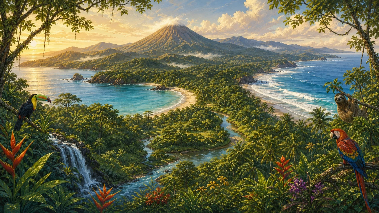
Covering roughly 51,100 square kilometers, this small but extraordinarily diverse country shares its northern border with Nicaragua and its southeastern border with Panama. Its dual-coast position gives Costa Rica Pacific and Caribbean coastlines in a single country — a rare geographic gift that translates into completely different beach climates, cultures, and ecosystems within just a few hours’ drive of each other.
Geographically, Costa Rica lies between 8°02’ and 11°13’ North latitude and 82°33’ to 85°58’ West longitude. That places it firmly in the tropics, with the sun overhead year-round and temperatures moderated primarily by altitude rather than season.
A Country Shaped by Volcanoes and Time
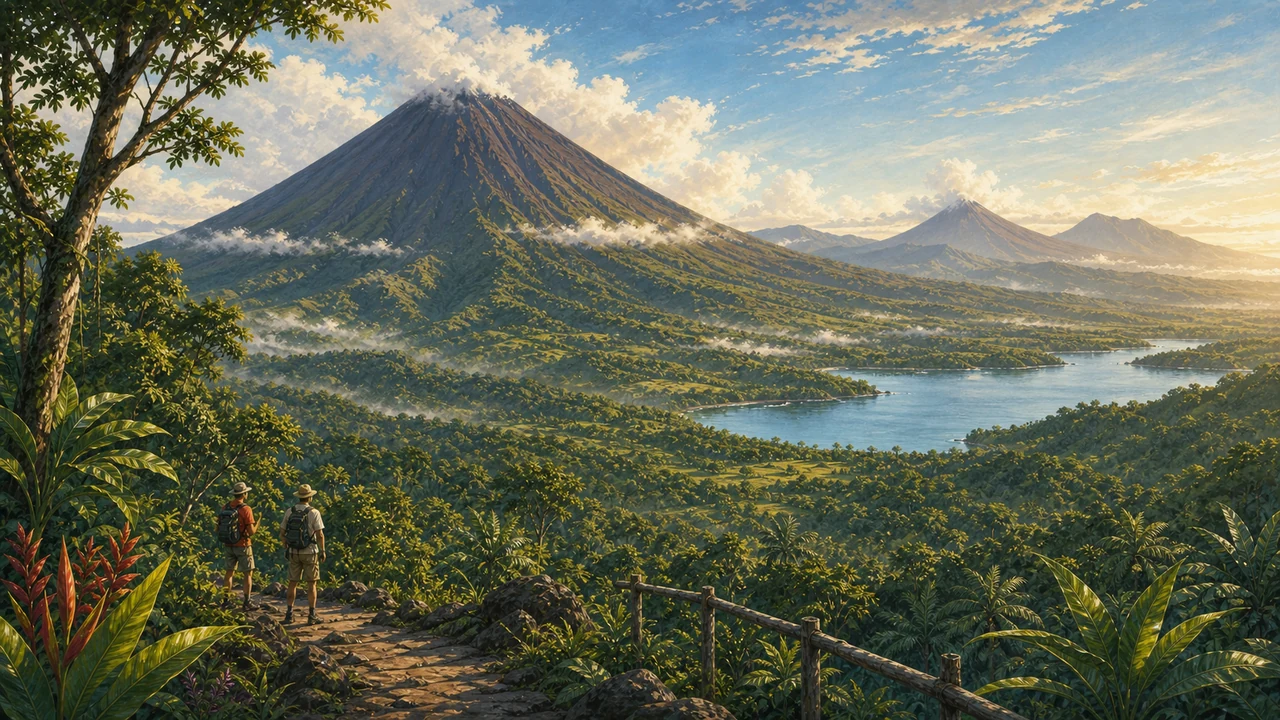
Costa Rica’s landscape tells a dramatic geological story. During the early Tertiary period, the region that is now Costa Rica and Panama was submerged beneath a shallow sea — essentially a chain of islands separated by a marine channel connecting what are now the Caribbean and the Pacific. The Nicoya Peninsula in the northwest and the Osa Peninsula in the south are considered remnants of those primordial islands.
From the mid-Tertiary onward, intense tectonic activity and volcanic uplift in Central America gradually filled in that marine channel, giving rise to two major volcanic mountain ranges: the Guanacaste Volcanic Range in the northwest and the Central Volcanic Range running through the country’s midsection. By the Quaternary period, the Costa Rican territory had largely consolidated into the landmass we know today, becoming the corridor through which North and South American species — both animal and plant — could mix and evolve together.
That biological interchange is one reason why Costa Rica, despite representing only about 0.03% of the Earth’s surface, contains an estimated 5% of the planet’s total biodiversity. Ecotourism and nature are built on this geological accident.
The Central Valley: Where Most Ticos Live
The mountainous spine of Costa Rica creates a broad, fertile basin known as the Central Valley (Valle Central), sitting at elevations of roughly 1,000 to 1,500 meters above sea level. San José, the capital, along with the cities of Alajuela, Heredia, and Cartago, all cluster here. The mild year-round climate of the Central Valley — spring-like temperatures hovering between 18°C and 26°C — has made this plateau the country’s demographic and economic center for centuries.
The Central Valley is also where most international travelers begin their Costa Rica journey. Juan Santamaría International Airport (SJO), located in Alajuela just outside San José, is the country’s main gateway and serves the majority of international flights.
Two Coastlines, Two Worlds
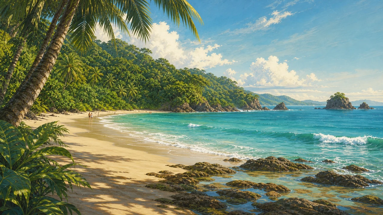
One of the most striking aspects of Costa Rica’s geographic position in Central America is the dramatic contrast between its two coasts.
Pacific Coast: Stretching roughly 1,016 kilometers from the Nicoya Peninsula in the north to the Osa Peninsula in the south, the Pacific side offers the country’s most varied beach landscape. The northwest (Guanacaste) is drier, sunnier, and home to resorts and surf breaks that draw visitors year-round. The central and southern Pacific coasts — including areas near Manuel Antonio and the Osa Peninsula — receive more rainfall and maintain lush, jungle-covered hillsides that tumble directly to the ocean. Costa Rica’s beaches on the Pacific range from calm, family-friendly bays to powerful open-ocean swells.
Caribbean Coast: Shorter at around 212 kilometers, the Caribbean coast has a distinctly different character — heavy rainfall (some areas receive rain almost year-round), Afro-Caribbean cultural influences, and a reef-lined coastline ideal for snorkeling and diving. The Caribbean beaches have a wilder, more remote feel and are home to important nesting grounds for sea turtles.
Protected Land: A Geographic Priority
Costa Rica’s location at a biological crossroads made conservation a national priority long before sustainability became a global buzzword. More than 25% of the country’s total land area falls under some form of protection — national parks, biological reserves, and wildlife refuges blanket much of the territory. This network of protected areas is one of the most comprehensive in the world relative to country size, and it is the backbone of the country’s world-renowned ecotourism industry.
From the misty cloud forests of Monteverde to the lowland rainforests of Corcovado to the volcanic craters of Costa Rica’s volcanoes, the protected areas span every ecosystem the country’s geography has to offer.
Time Zone and Practical Orientation
Costa Rica runs on Central Standard Time (UTC−6) throughout the year. Unlike most of North America, Costa Rica does not observe daylight saving time, so the offset from the US East Coast is one hour in winter and two hours during summer DST. This consistency makes planning travel and staying in touch with home straightforward.
The country is divided into seven provinces: San José, Alajuela, Heredia, Cartago (forming the Central Valley core), and Guanacaste, Puntarenas, and Limón (the coastal provinces). Each has its own geographic character and tourism appeal.
Getting There: International Airports
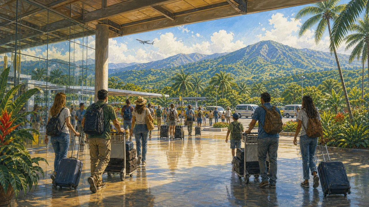
Costa Rica’s geographic position makes it accessible from across North America, Europe, and South America, with direct international flights to Costa Rica from dozens of cities. The country’s two international airports divide the destination neatly:
- Juan Santamaría International Airport (SJO) — Located in Alajuela, about 20 minutes from downtown San José, SJO is the main hub and handles the vast majority of international arrivals. Most flights from the US East Coast, Europe, and South America land here.
- Daniel Oduber International Airport (LIR) — Located in Liberia, the capital of Guanacaste province, LIR is the preferred entry point for visitors heading directly to the North Pacific beaches and resorts. It saves hours of overland travel compared to routing through San José.
- Tobías Bolaños Airport (SYQ) — Serving Pavas, just west of San José, this domestic and charter terminal is the hub for Costa Rica domestic flights to smaller destinations like the Osa Peninsula, Tortuguero, and Nosara.
Once you land, Costa Rica’s compact geography works in your favor. From San José, nearly every major destination is reachable in a half-day drive or a short domestic flight — a practical advantage that lets travelers see multiple regions in a single trip.
For everything you need before departure — entry requirements, packing tips, and transportation — explore our complete guide to traveling to Costa Rica and our Costa Rica travel tips.
Frequently asked questions
Where exactly is Costa Rica located?
Costa Rica sits in the heart of Central America, bordered by Nicaragua to the north and Panama to the southeast. It has coastlines on both the Pacific Ocean to the west and the Caribbean Sea to the east, making it a truly two-ocean country.
How big is Costa Rica?
Costa Rica covers approximately 51,100 square kilometers — roughly the size of West Virginia. Despite its compact size, it harbors an astonishing range of ecosystems, from cloud forests and volcanoes to mangroves and coral reefs.
What time zone is Costa Rica in?
Costa Rica operates on Central Standard Time (CST, UTC−6) year-round and does not observe daylight saving time. This makes scheduling flights and calls straightforward: the clock stays the same throughout the year.
Which airports serve Costa Rica?
Two international airports serve most visitors: Juan Santamaría International Airport (SJO) near San José, and Daniel Oduber International Airport (LIR) in Liberia, Guanacaste. A domestic terminal at Tobías Bolaños Airport (SYQ) in Pavas handles regional and charter flights.
How long does it take to drive across Costa Rica?
Costa Rica's compact size means you can drive from the Caribbean coast to the Pacific coast in roughly three to four hours under good conditions, though mountain roads and occasional traffic near San José can extend journey times.